

Audit, valuation, recovery — plus the full planning value chain.
Everything starts with the field-verified land use audit. It is what makes leakage findings defensible against objection, and what Cadre DVA uses to find under-valued and missing properties. Together: audit, valuation, recovery.
Twelve services in total. The first three are the flagship data offerings — they are what sets Cadre apart, and they feed one another.
Three things we do best
Land use audits and spatial data
Credible decisions about land start with knowing what is actually on the ground — and almost nobody does. Every parcel is classified on the three-tier national land use classification (17 primary, 57 secondary and 312 tertiary categories — the DALRRD framework, significantly improved by Cadre Plan), read on high-resolution aerial imagery, and ground-truthed by field teams driving every accessible street, including over 90 000 informal cadastre parcels never before mapped. Verified parcel-level data feeds SPLUMA-compliant land use schemes, credible valuation rolls, municipal revenue completeness, asset registers, feasibility work and portfolio strategy — available to local government and professional property practitioners.
Data-driven valuation assessment — Cadre DVA
Cadre DVA turns verified spatial data into an independent value for every property in a portfolio — not a sample. Land use, building extents and quality are verified on the ground; each property is grouped with its true comparables; and the independent value is benchmarked against the value on record, with divergences ranked by value at stake. Clients receive a parcel-level valuation database, a divergence register, the verified land use dataset, a building footprint layer, dashboards and a handover briefing.
Municipal revenue analytics and data cleansing
Most municipal billing registers leak revenue — through billing errors, incorrect classifications, unmetered properties and properties missing from the roll entirely. Cadre's analytics finds it, quantifies it, and converts every finding into an implementation-ready correction: a complete account-level audit reconciling the billing system against the valuation roll, the Deeds Registry, verified land use data and further integrated sources.
The full planning value chain.
Strategic & spatial planning
Municipal spatial development frameworks and strategic plans that meet SPLUMA and the Municipal Systems Act — from policy context through to a costed implementation framework.
Precinct planning & urban design
Precincts that are walkable, connected and investable, with clear spatial structuring principles and development guidelines at site, street and residential level.
Governance, partnerships & institutional planning
Public-private partnerships and joint ventures around catalytic sites, governance frameworks for institutions, and hands-on municipal capacity support.
Housing & human settlements
National inclusionary housing policy, integrated human settlement plans, informal settlement upgrading assessments and social and rental housing strategy.
Development economics & feasibility
Cadre Econ produces feasibility assessments, cost-benefit analyses, leasing models and capital expenditure frameworks that let decision-makers commit with confidence.
LED and revitalisation
Local economic development strategies and CBD revitalisation programmes designed around partnerships and implementation, not documents — recent work spans Mogalakwena, Thabazimbi, Gauteng CoGTA and SALGA.
Statutory planning & due diligence
Rezonings, subdivisions, consents and site clearances led by Cadre's partner consultancies through Property Matrix — from rapid pre-screening to full due diligence reports.
Strategic communication & visual media
Complex planning, governance and financial content turned into material that boards, councils, communities and investors absorb — including corporate annual reports, project films and precinct visualisations.
International
Cadre's methods travel: for the World Bank, the firm developed urban diagnostics, strategies and action plans for Lilongwe and Blantyre in Malawi.

Need land use rights, a statutory application or a due diligence report on a specific property?
Visit Property MatrixTen projects, out of 51 published case studies.
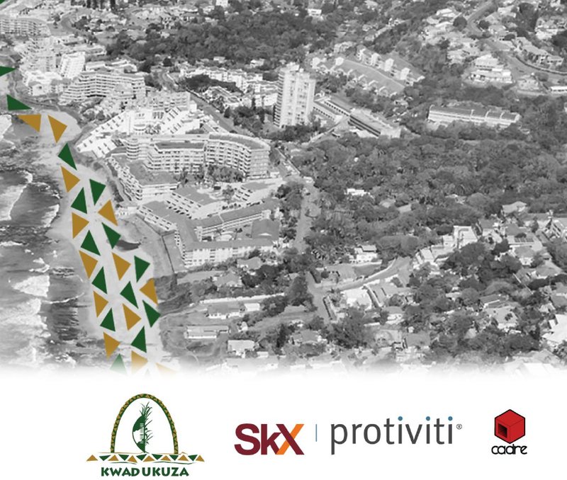
KwaDukuza land audit
2025 · A municipality-wide audit covering 44 357 parcels and 142 975 identified buildings, field-verifying 9 535 parcels at 92% accuracy and quantifying eight separate revenue leakages.
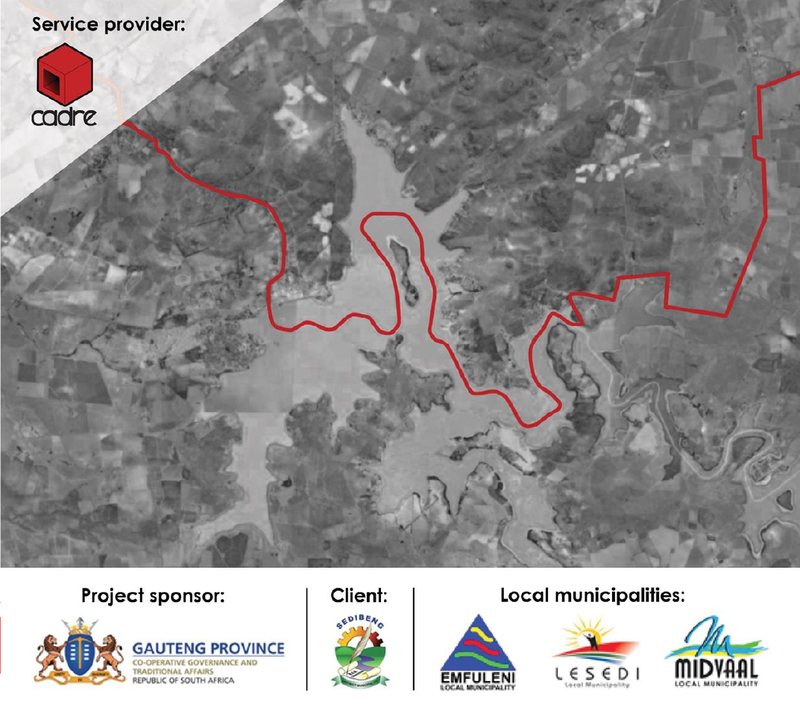
Sedibeng land use audit
2022 · Gauteng CoGTA · A district-wide audit classifying all 240 756 parcels across 508 708 hectares — the evidence base for SPLUMA-compliant schemes.
Mogalakwena land use scheme
2023 · A SPLUMA-compliant scheme covering 129 551 parcels, digitising 90 445 informal parcels into a single management system for the first time.
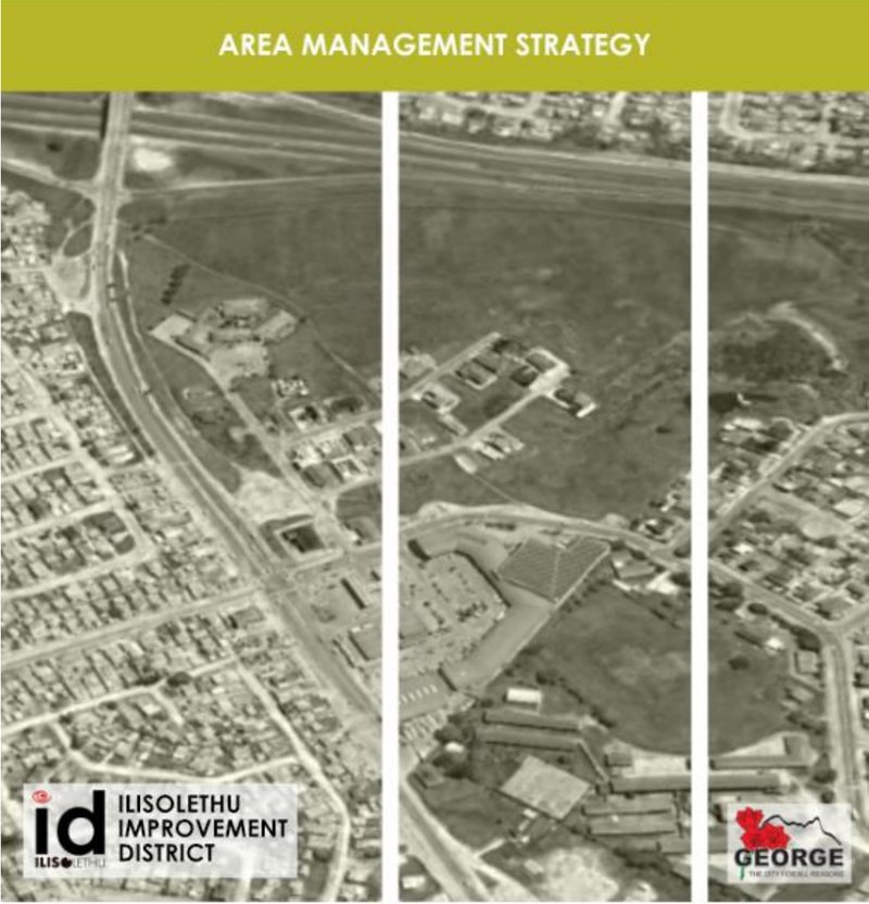
Ilisolethu, Thembalethu
2023 · George Municipality, sponsored by National Treasury · Precinct plan, investment plan and a self-funding area management strategy for a township gateway node.
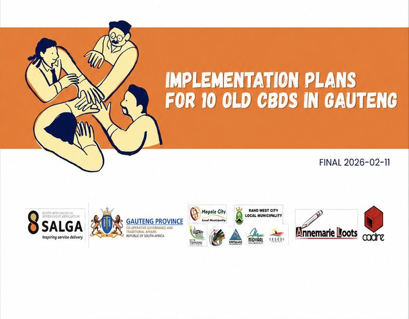
SALGA CBD revitalisation — PLACE process
2025 · Implementation plans for ten central business districts, asking each stakeholder what they could contribute rather than what they needed from government.
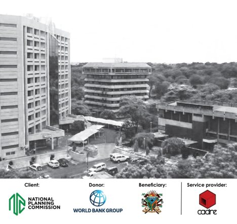
Connected, clustered, green Lilongwe
2022 · The World Bank · Urban diagnostics, strategy and action plan for Malawi's capital, aimed at productivity, resilience and social inclusion.